
Seswantšho:South Africa Western Cape location map.svg

Size of this PNG preview of this SVG file: 749 × 600 pixels. Other resolutions: 300 × 240 pixels | 600 × 480 pixels | 959 × 768 pixels | 1,279 × 1,024 pixels | 2,558 × 2,048 pixels | 1,214 × 972 pixels.
''resolution'' ya gofella (SVG faele, nominally 1,214 × 972 pixels, bogolo ba faele: 204 KB)
Kakaretšo
| Description |
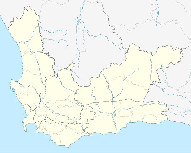
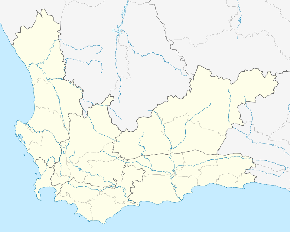
English: Location map of the Western Cape
Equirectangular projection, N/S stretching 118%. Geographic limits of the map:
|
| Letšatšikgwedi | |
| Mothopo |
|
| Mongwadi | Htonl |
| Permission (Reusing this file) |
I, the copyright holder of this work, hereby publish it under the following license: This file is licensed under the Creative Commons Attribution-Share Alike 3.0 Unported license.
|
| Other versions | File:South Africa Western Cape relief location map.svg, File:Blank map of the Western Cape (2011).svg |
.svg)
Histori ya faele
Pinyeletša go letšatšikgwedi/nako go bona faela ka tsela yeo ebego e le ka gona nakong yeo.
| LetšatšiKgwedi/Nako | Nkgogorupo-Nala | Bogolo | Mošomiši | Comment | |
|---|---|---|---|---|---|
| bjale | 21:40, 4 Pherekgong 2013 | | 1,214 × 972 (204 KB) | Htonl | tweak |
| 00:42, 4 Pherekgong 2013 |  | 1,214 × 972 (237 KB) | Htonl | new version w/ vmap0-derived rivers | |
| 02:24, 13 Manthole 2012 |  | 1,214 × 972 (202 KB) | Htonl | {{Information |Description ={{en|1=Location map of w:Western Cape, w:South Africa. Equirectangular projection. Geographic limits of the map: 17.5° to 24.5° E and 30.25° to 35° S.}} |Source =Own work, based on OpenStreetMap dat... |
Tirišo ya Faele
More than 100 pages use this file. The following list shows the first 100 pages that use this file only. A full list is available.
- Abbotsdale
- Albertinia
- Amaliënstein
- Arniston, Kapa Bodikela
- Ashton
- Aurora, Kapa Bodikela
- Avontuur
- Baardskeerdersbos
- Barrydale
- Beaufort West
- Bellville
- Betty's Bay
- Birkenhead, Kapa Bodikela
- Boggomsbaai
- Bonnievale
- Botrivier
- Bredasdorp
- Brenton-on-Sea
- Caledon
- Ceres
- Danabaai
- De Doorns
- De Kelders
- Dennehof
- Dwarskersbos
- Dwarsrivier
- Eendekuil
- Elim, Kapa Bodikela
- Fisherhaven
- Franschhoek
- Franskraalstrand
- Genadendal
- Glencairn
- Glentana
- Goedverwacht
- Gouda, Kapa Bodikela
- Grabouw
- Greyton
- Hartenbos
- Hawston
- Hermanus
- Infanta
- Jamestown, Kapa Bodikela
- Kayamandi, Kapa Bodikela
- Keurboomstrand
- Klapmuts
- Kleinbaai
- Kleinmond
- Knysna
- Kylemore
- L'Agulhas
- Langebaan
- Languedoc
- Malgas
- McGregor
- Montagu
- Mossel Bay
- Napier
- Nature's Valley
- Onrusrivier
- Op-die-Berg
- Paarl
- Paternoster
- Pearly Beach
- Piketberg
- Plettenberg Bay
- Pniel
- Porterville, Kapa Bodikela
- Pringle Bay
- Rawsonville
- Redelinghuys
- Riviersonderend
- Robertson
- Robertsvlei
- Rooi-Els
- Sandbaai
- Saron
- Simon's Town
- Skipskop
- Slangrivier
- St Helena Bay
- Stanford
- Stellenbosch
- Struisbaai
- Suiderstrand
- Suurbraak
- Swellendam
- Touws River
- Tulbagh
- Van Dyks Bay
- Velddrif
- Vermont, Kapa Bodikela
- Villiersdorp
- Vleesbaai
- Vredenburg
- Vredendal
- Wellington, Kapa Bodikela
- Wemmershoek
- Wittewater
- Wolseley, Kapa Bodikela
View more links to this file.
Global file usage
The following other wikis use this file:
- Usage on af.wikipedia.org
- Kaapstad
- Heidelberg, Wes-Kaap
- Sedgefield
- Knysna
- Stellenbosch
- Robbeneiland
- Beaufort-Wes
- Genadendal
- George
- Paarl
- Swellendam
- Tulbagh
- Touwsrivier
- Mamre
- Franschhoek
- Plettenbergbaai
- Gordonsbaai
- Wellington, Wes-Kaap
- Bellville
- Durbanville
- Mosselbaai
- Atlantis, Wes-Kaap
- Malmesbury, Wes-Kaap
- Paternoster
- Hopefield
- Vredenburg
- Saldanha
- Langebaan
- Velddrif
- Jacobsbaai
- Laingsburg
- Kleinmond
- Matjiesfontein
- Simonstad
- Grabouw
- Moorreesburg
- Robertson
- Houtbaai
- Oudtshoorn
- Bredasdorp
- Distrik Ses
- Elim, Wes-Kaap
- Wupperthal
- Darling, Wes-Kaap
- Suurbraak
- Barrydale
- Napier
- Dysselsdorp
- Zoar, Wes-Kaap
- Piketberg
View more global usage of this file.