
Seswantšho:Topographic90deg S0E90.png
Size of this preview: 593 × 600 pixels. Other resolutions: 237 × 240 pixels | 475 × 480 pixels | 760 × 768 pixels | 1,013 × 1,024 pixels | 1,800 × 1,820 pixels.
''resolution'' ya gofella (1,800 × 1,820 pixel, bogolo ba faele: 899 KB, Mohuta wa MIME: image/png)
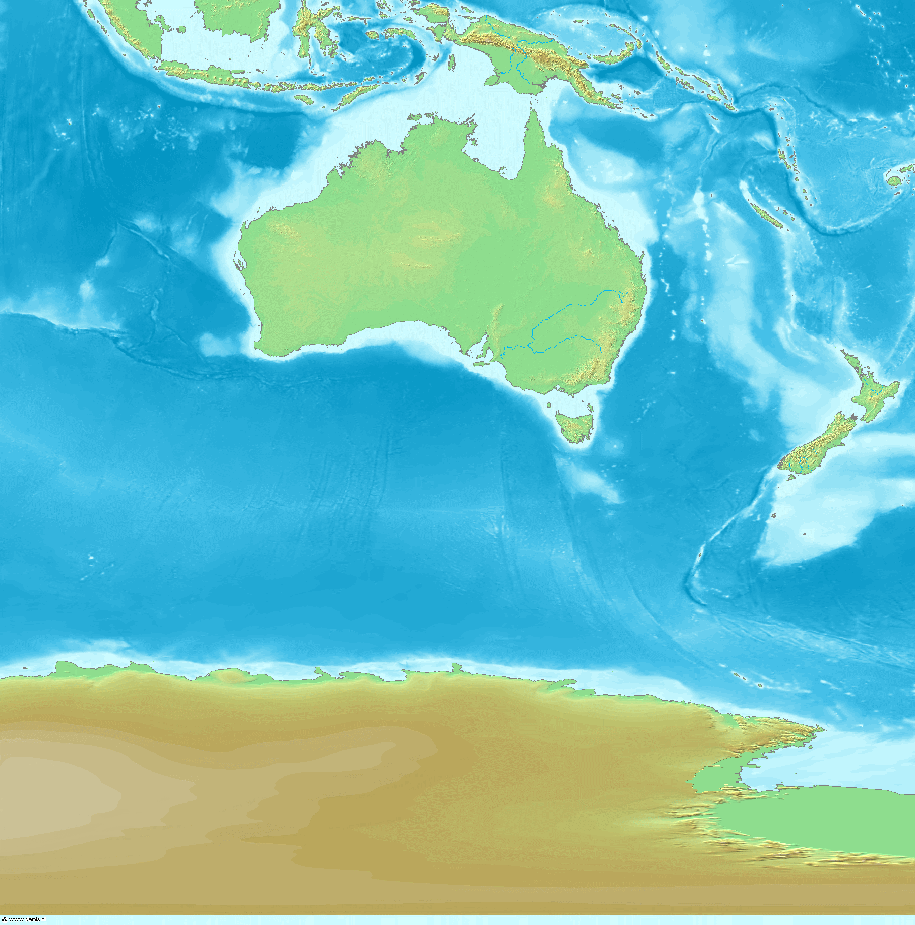
Topographic map 90deg, South latitude: 0 - 90, East longitude: 90 - 180
Topographic map 90deg, South latitude: 0 - 90, East longitude: 90 - 180
|
| ||||||||||||||||||||||||


Map created from DEMIS Mapserver[dead link], which are public domain. Koba-chan

|
Permission is granted to copy, distribute and/or modify this document under the terms of the GNU Free Documentation License, Version 1.2 or any later version published by the Free Software Foundation; with no Invariant Sections, no Front-Cover Texts, and no Back-Cover Texts. A copy of the license is included in the section entitled GNU Free Documentation License. |
| This file is licensed under the Creative Commons Attribution-Share Alike 3.0 Unported license. | ||
| ||
| This licensing tag was added to this file as part of the GFDL licensing update. |
Histori ya faele
Pinyeletša go letšatšikgwedi/nako go bona faela ka tsela yeo ebego e le ka gona nakong yeo.
| LetšatšiKgwedi/Nako | Nkgogorupo-Nala | Bogolo | Mošomiši | Comment | |
|---|---|---|---|---|---|
| bjale | 18:04, 26 Mopitlo 2005 | | 1,800 × 1,820 (899 KB) | Koba-chan | ---- Map created from [http://www2.demis.nl/mapserver/mapper.asp DEMIS Mapserver], which are public domain. Koba-chan {{GFDL}} Category:Topographic maps Category:Earth |
Tirišo ya Faele
Letlakala le ke latelago a hlomaganya go faele ye:
Global file usage
The following other wikis use this file:
- Usage on af.wikipedia.org
- Usage on bg.wikipedia.org
- Usage on en.wikipedia.org
- Usage on eo.wikipedia.org
- Usage on es.wikipedia.org
- Usage on fa.wikipedia.org
- Usage on fr.wikipedia.org
- Usage on id.wikipedia.org
- Usage on map-bms.wikipedia.org
- Usage on mk.wikipedia.org
- Usage on oc.wikipedia.org
- Usage on pl.wikipedia.org
- Usage on ps.wikipedia.org
- Usage on qu.wikipedia.org
- Usage on su.wikipedia.org
- Usage on zh-yue.wikipedia.org
- Usage on zh.wikipedia.org