
Seswantšho:LocationSouthAmerica.png
Size of this preview: 800 × 407 pixels. Other resolutions: 320 × 163 pixels | 640 × 326 pixels | 1,024 × 521 pixels | 1,280 × 651 pixels | 2,759 × 1,404 pixels.
''resolution'' ya gofella (2,759 × 1,404 pixel, bogolo ba faele: 101 KB, Mohuta wa MIME: image/png)

|
File:Location of South America.svg is a vector version of this file. It should be used in place of this PNG file when not inferior.
File:LocationSouthAmerica.png → File:Location of South America.svg
For more information, see Help:SVG. |
 |
| Description |
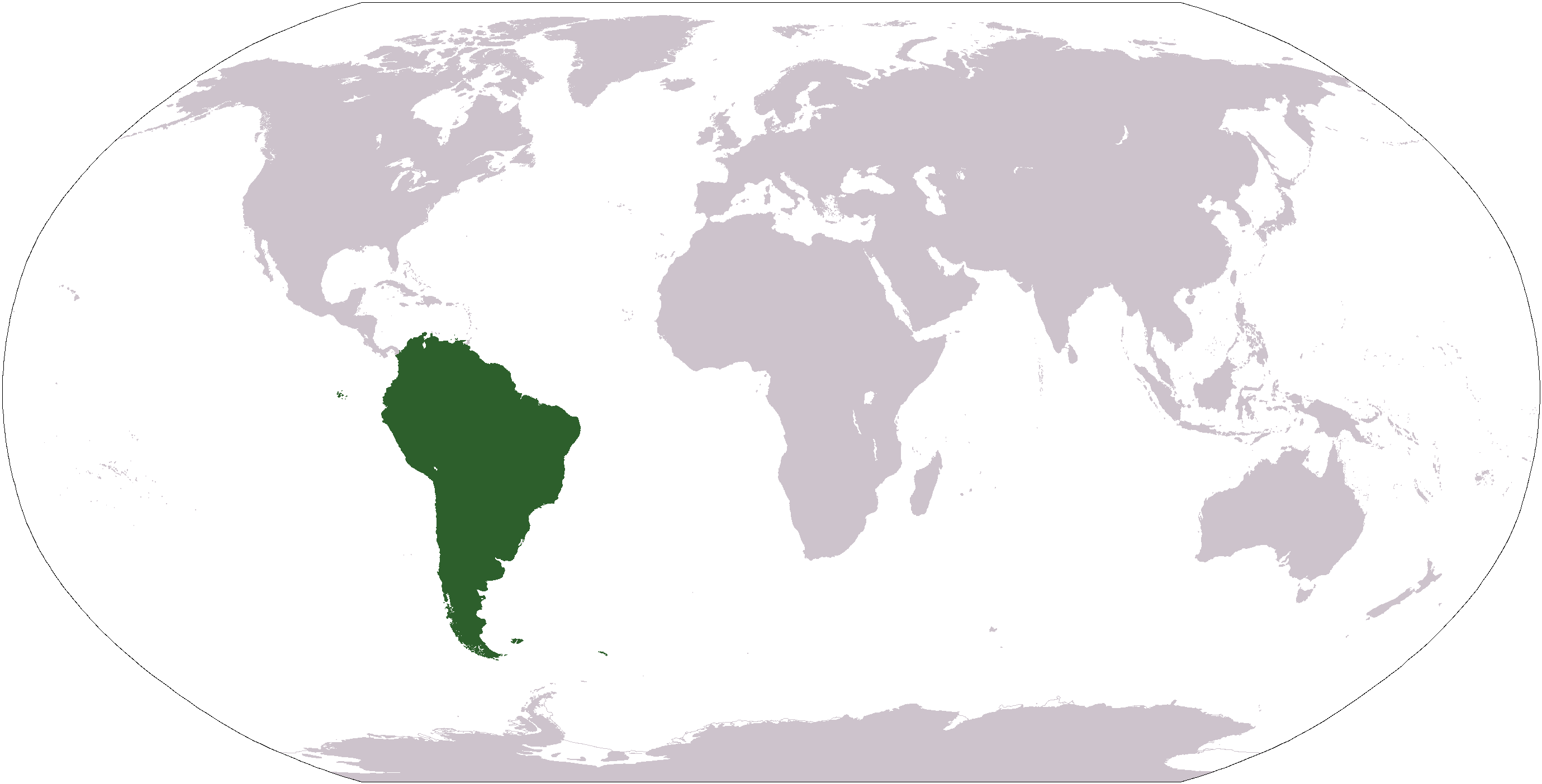
Deutsch: Weltkarte mit Fokus auf Südamerika
English: World map depicting South America
Esperanto: Mondmapo bildiganta Sudamerikon
Español: Ubicación de América del Sur |
| Letšatšikgwedi | (UTC) |
| Mothopo | map adapted from PDF world map at CIA World Fact Book |
| Mongwadi | Central Intelligence Agency, Maximaximax, Ghalas, Huhsunqu, E Pluribus Anthony, Cogito ergo sumo, and Snoopen82 (via Image:LocationSouthAmerica2.png per this request) |
| Other versions |
Derivative works of this file: Wikinews Ameryka Południowa.png Formerly Image:LocationSouthAmerica2.png. |
This image is in the public domain because it contains materials that originally came from the United States Central Intelligence Agency's World Factbook.
|
 |
Histori ya faele
Pinyeletša go letšatšikgwedi/nako go bona faela ka tsela yeo ebego e le ka gona nakong yeo.
| LetšatšiKgwedi/Nako | Nkgogorupo-Nala | Bogolo | Mošomiši | Comment | |
|---|---|---|---|---|---|
| bjale | 14:39, 19 Pherekgong 2008 | | 2,759 × 1,404 (101 KB) | F l a n k e r | Transparency |
| 20:03, 16 Phato 2007 |  | 2,759 × 1,404 (46 KB) | Jeff G. | Updated version without Panama per Commons:Administrators' noticeboard/Attention#Move_image_request_Image:LocationSouthAmerica2.png_to_Image:LocationSouthAmerica.png_.28user_account_too_new.29 | |
| 06:50, 10 Lewedi 2006 |  | 2,759 × 1,404 (55 KB) | Cogito ergo sumo~commonswiki | World map: South America (location) | |
| 06:48, 22 Pherekgong 2006 |  | 2,759 × 1,404 (55 KB) | E Pluribus Anthony~commonswiki | World map: South America (location) | |
| 00:34, 16 Pherekgong 2006 |  | 1,381 × 703 (48 KB) | Huhsunqu | ||
| 14:33, 29 Moranang 2005 |  | 1,381 × 703 (16 KB) | Ghalas | Half the size {{PD-USGov-CIA-WF}} | |
| 10:32, 28 Moranang 2005 |  | 2,759 × 1,404 (39 KB) | Ghalas | Extracted from CIA World Factbook PDF world map, then rasterized and colored. {{PD}} | |
| 07:33, 29 Manthole 2004 |  | 250 × 116 (11 KB) | Maximaximax | Location of South America (from en:) {{GFDL}} |
Tirišo ya Faele
Gago matlakala a hlomaganyago faeleng ye.
Global file usage
The following other wikis use this file:
- Usage on ace.wikipedia.org
- Usage on af.wikipedia.org
- Usage on als.wikipedia.org
- Usage on am.wikipedia.org
- Usage on ang.wikipedia.org
- Usage on ar.wikipedia.org
- Usage on ar.wikinews.org
- Usage on arz.wikipedia.org
- Usage on as.wikipedia.org
- Usage on azb.wikipedia.org
- Usage on az.wikipedia.org
- Usage on bat-smg.wikipedia.org
View more global usage of this file.