
Seswantšho:Soria - Mapa municipal.svg

Size of this PNG preview of this SVG file: 469 × 386 pixels. Other resolutions: 292 × 240 pixels | 583 × 480 pixels | 933 × 768 pixels | 1,244 × 1,024 pixels | 2,488 × 2,048 pixels.
''resolution'' ya gofella (SVG faele, nominally 469 × 386 pixels, bogolo ba faele: 305 KB)
Title
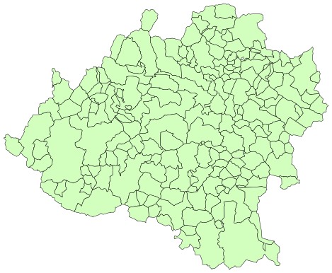
- es: Municipios de Soria (España). 2003
- en: Municipalities of Soria (Spain). 2003
Author

|
Permission is granted to copy, distribute and/or modify this document under the terms of the GNU Free Documentation License, Version 1.2 or any later version published by the Free Software Foundation; with no Invariant Sections, no Front-Cover Texts, and no Back-Cover Texts. A copy of the license is included in the section entitled GNU Free Documentation License. |
| This file is licensed under the Creative Commons Attribution-Share Alike 3.0 Unported license. | ||
| ||
| This licensing tag was added to this file as part of the GFDL licensing update. |
Histori ya faele
Pinyeletša go letšatšikgwedi/nako go bona faela ka tsela yeo ebego e le ka gona nakong yeo.
| LetšatšiKgwedi/Nako | Nkgogorupo-Nala | Bogolo | Mošomiši | Comment | |
|---|---|---|---|---|---|
| bjale | 16:59, 24 Diphalane 2013 | | 469 × 386 (305 KB) | Asqueladd | cropped |
| 15:35, 29 Diphalane 2005 |  | 778 × 413 (322 KB) | Tony Rotondas | '''Title''' :'''es:''' Municipios de Soria (España). 2003 :'''en:''' Municipalities of Soria (Spain). 2003 '''Author''' :[http://es.wikipedia.org/wiki/Usuario:Tony_Rotondas Emilio Gómez Fernández] {{GFDL}} Category:Maps of municipalities of Spain |
Tirišo ya Faele
Gago matlakala a hlomaganyago faeleng ye.
Global file usage
The following other wikis use this file:
- Usage on an.wikipedia.org
- Usage on ar.wikipedia.org
- Usage on ast.wikipedia.org
- Usage on ban.wikipedia.org
- Usage on ca.wikipedia.org
- Usage on es.wikipedia.org
- Usage on eu.wikipedia.org
- Usage on fa.wikipedia.org
- Usage on fr.wikipedia.org
- Usage on id.wikipedia.org
- Usage on it.wikipedia.org
- Usage on jam.wikipedia.org
- Usage on ro.wikipedia.org